 |
| Google Maps |
 |
| Photo Mine |
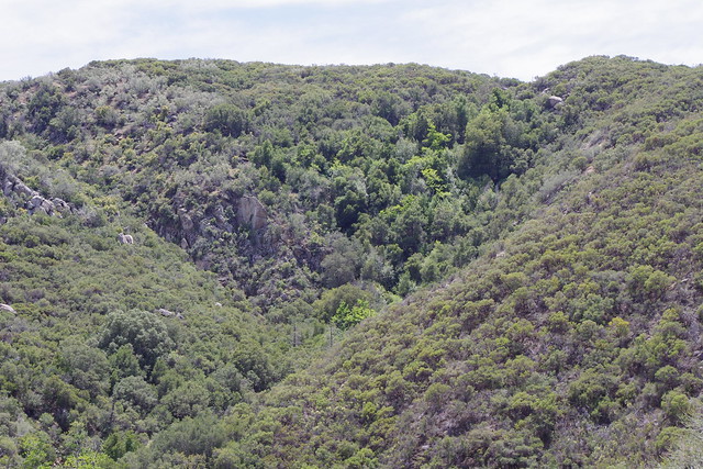
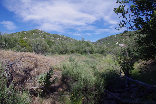
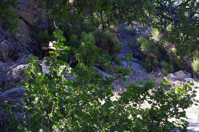
The vegetation here is radically different than the chaparral on both side of the V shaped Canyon. There are clearly Pines, Cedars, Oaks and especially Sycamores and Cottonwoods which would indicate more water. Also, one had to wonder from where did the seed source for this forest come ? What was upstream ?
 |
| Photo: Mine |
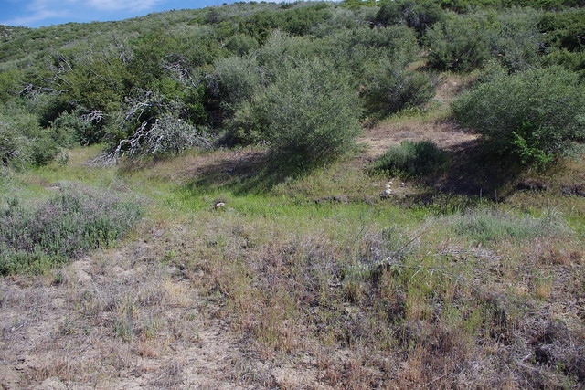
This is the same turnout looking directly east up the Cold Creek Canyon looking towards the direction of Mountain Center. This canyon is especially rich in Big Cone Douglas Fir trees.
 |
| Photo Mine |
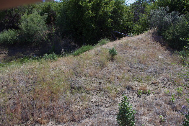
This is a shot from the truck looking back from another angle east of the turnout for a contrasting view of the vegetation.
 |
| Photo: Mine Cal-Trans Turnout |
 |
| Photo: Mine |
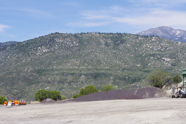
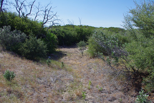
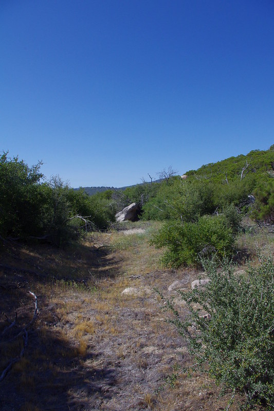
Both of these next two shots are from the South Fork San Jacinto River Trail head turnout with the Cal-Trans gravel and sand bunkers. Notice the vegetation lines along those mountains across the valley ? Clearly the geology has some fault lines which seep with moisture from a series of Springs. Just another interesting puzzle I never explored mainly because of the heavy bush whacking that it would take in virgin untouched Chaparral.
 |
| Photo: Mine |
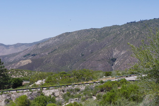
Fast forwarding up the trail from the parking area and coming around the first bend where you can see the South fork Canyon from which Lake Hemet spills over if and when there is a heavy rain season. Most of the trees here on this steep terrain are Big Cone Douglas Fir (Pseudotsuga macrocarpa)
 |
| Photo Mine |
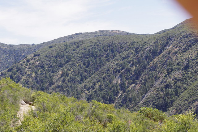
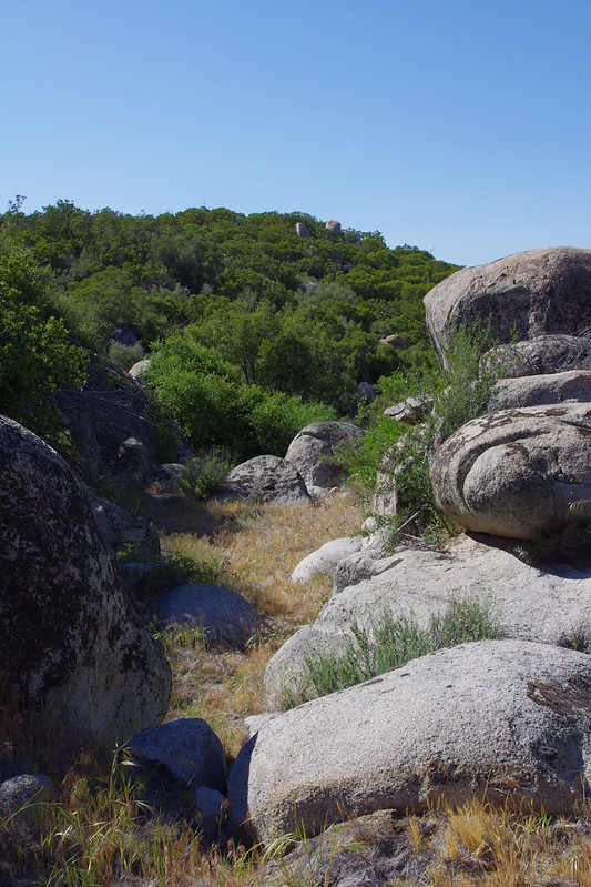
Coming further around the bend and looking down where the dense foliage of the green Big Cone Doug Firs are below is the first indication of a slide to the left in the picture where the geology is a much brighter white. The other side of the canyon is rouse Ridge or Hill where there is a campground at the end of this trail. This ridge has also been an area of traditional targeting for control or prescribed burns and yet no fire has ever burned through here on it's way to Hemet and other parts west. On the other side is Bautista Canyon where fires by humans have traditionally started and burned towards Red Mountain and the community of Sage.
 |
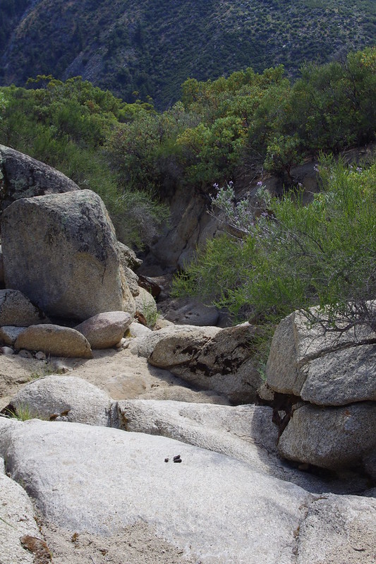
| Photo: Mine |
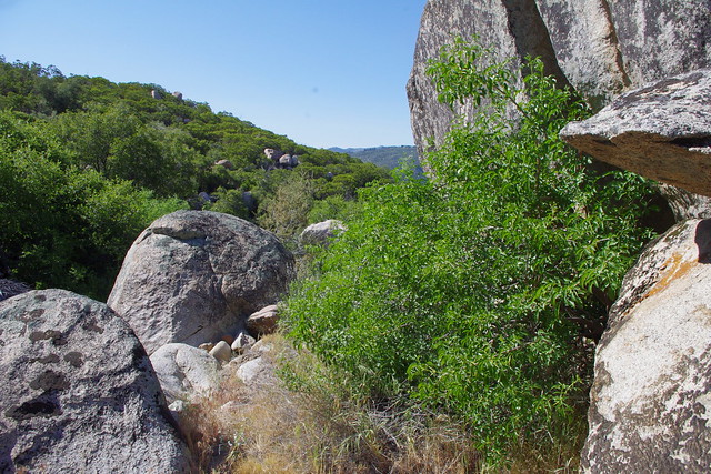
This point here is the unnatural Creek bed that the south Fork Trail crosses over before falling into the abyss a hundred yards further to the west. Here you can see some of the native Bunch grasses that have made a permanent home among the boulders and cobble stone river rocks.
 |
| Photo Mine |
This is hiking the trail beyond the unnatural man made creek we just past over and going a bit further south on this trail, we take a photo from the south side of the unnatural slide area. Keep in mind, when I first discovered this human caused disaster, I was not expecting this AND I actually came in from the other side to this point, not from the turnout and hiking trail. So my first discovery was NOT this slide, but rather the deliberate diversion earthen soil berm or dam they Hwy Construction Crews dug by hand to change the water course straight west as opposed to the natural sharp turn north towards the Hwy 74 which even older maps will indicate.
 |
| Photo: Mine |
 |
| Photo: Mine |
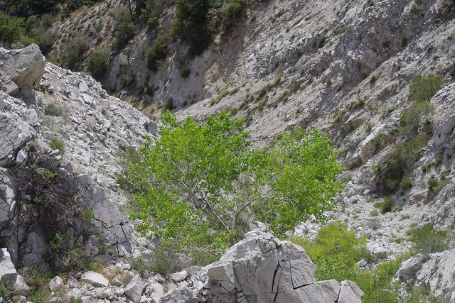
Both these pictures are looking towards the canyon as the dry wash cuts unnaturally through the top soil layers eroding aggressively into the mountain on either side and dislodging the chaparral. There are no Riparian vegetation built up whatsoever through this wash which would have been normal had this feature been hundreds or thousands of years old like the canyon cut on the other side. Very steep and very dangerous in parts.
 |
| Photo Mine |
 |
| Photo: Mine |
 |
| Image . Google Earth |
This sad scenario can only be clearly seen in whole from the vantage point of Google Earth satellite imaging. Notice the location of the Hwy 74 turnout, South Fork Hiking Trail, the existing stream and old stream bad and exact point of where the alignment was trenched and a diversion berm created to redirect the waters which pointed straight for the canyon and which led to the entire muntainside collapse. Interestingly, the collapse now is not as pronoused a cliff-like drop off, but has eroded back to where there is more slope.
 |
| Photos Mine |
This is the area Patrick Dennis followed and took the photos with my camera. Now the look here is far different than when I first saw it in 1983. In that last picture above, notice the granite rock on the left ? The flatter creek bed use to extend out to that point and when you looked over the edge, there was nothing but a straight drop with large waterfall cascading into the deep cave in below. There was no vegetation as you see it now. There was no foothold for it. now that the erosion has met a harder rock layer and tapered a bit, any chaparral and riparian seed can now get a foothold which it clearly has as you can see. So there is something of a positive here.
 |
| Photos Mine |
Preview: Highway Department's South Fork Canyon Stream Course Reroute & Diversion Scheme
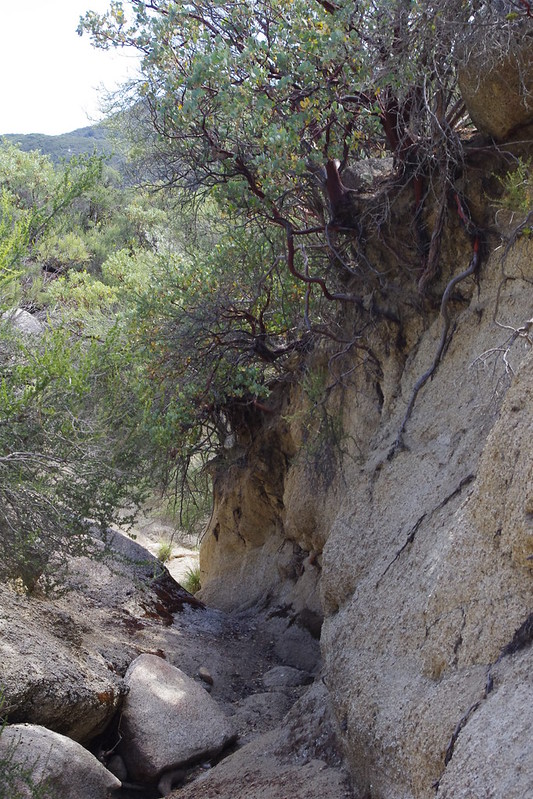
Now this is looking east from where the South Fork Trail crosses the creek and we are heading back towards where the Highway Construction crews cut into the higher ground west and built up a dam on the portion starting to head north towards the Highway where no doubt in the old days of a poorly constructed wagon road, it no doubt washed out from time to time. The deep erosion cuts through this geology are deep and sheer vertical to about 15 foot high from wall to wall. Very unnatural and again no indication of any mature Riparian Trees had the pathway been through here for hundreds of years. For further views, see the previous preview post I wrote of the older tradition stream bed which I illustrated the cuts in a series of photos between the South Fork Trail and the Diversion dam.
 |
| Photo: Mine |
Here is the opening to the diversion area with the built up soil and rock berm on the left. The older traditional natural stream bed is on the other side of this berm on the left. Straight ahead through the pass is McGaugh Meadows and Lake along with Baldy Mountain watershed drainage on it's north face.
 |
| Photo Mine Standing on the soil berm looking at the older channel now cut off from it's once historical centuries course by one act of ignorance and greed. |
 |
| Photo Mine Looking back and photographing the actual man made soil/rock berm which created the blockage and diversion decades ago. |

 |
| Photos Above all Mine |
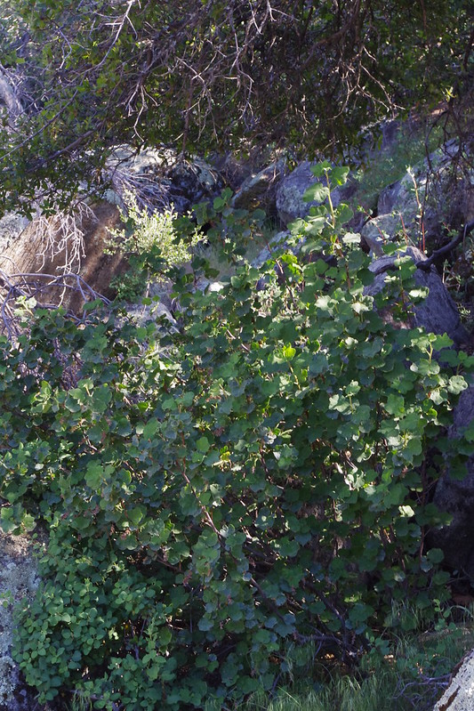
The series of photographs above are of all following the former stream bed down it's once robust course where we good imagine a wide flowing stream with lush habitat on both sides. However, down further we do run into indications of vast amounts of water still below the surface and sustaining water loving plants.
 |
| Photo Mine |
Here is a Mexican elderberry (Sambucus mexicana). On an interesting note, below this former waterfall behind the Elderberry and on the opposite side of the boulder it's up against to the right, we saw a fairly larger plastic industrial grade irrigation pipe and in good shape, running from a cave and extending down this former creek where it disappeared into some impassable vegetation areas. There were also some trash where someone had been residing keeping watch over who knows what. Spooky, some thing never change out here. That's why you have to keep watch.
 |
| Photo Mine And sure enough there is the Irrigation Pipe where no doubt a marijuana farm was nearby |
 |
| Photo: Mine |
 |
| Photos Mine |
Walking behind Mary Anne Kiger towards our first real Riparian tree, a California Sycamore (Plantanus racemosa) and further on down vegetation increased no only in size, but also abundant diversity for moisture loving riparian vegetation.
 |
| Photo Mine |
 |
| Photo: Mine |
These last two pictures are of Pink Chaparral Currant (Ribes malvaceum) which was abundant along hwy 74 on the way up traditionally, but they has severely made fire breaks along the highway and took out some of the best roadside scenic examples. I've planted two of these that I purchased at Las Pilitas Nursery for shade planting under my mum's six California Sycamore trees in her backyard.
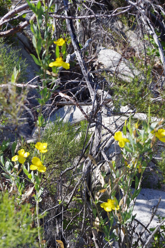 |
Bush Poppy (Dendromecon rigida)
|
 |
| Photo: Mine |
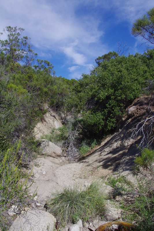
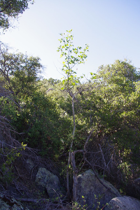
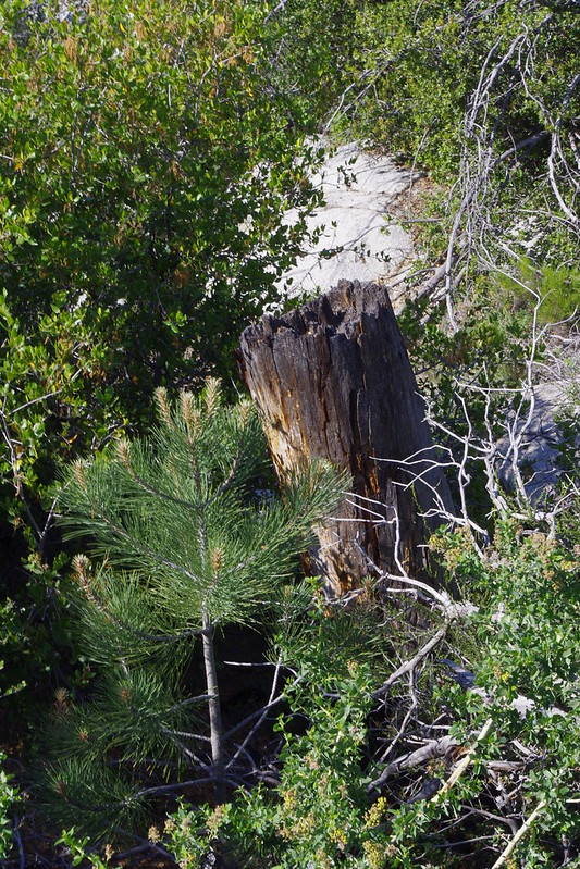
This is an incredible find as a young Pine sapling is pushing up through the chaparral which is in no way impeding it's growth at all. In fact it's very survival is dependent on the chaparral system. The older generation from ancient times past has moved over. Sadly this area was NOT so over grown when I first went through move up through the creek bed in 1983. The fire from the 1990s hadn't done it work as yet and the dense cover of many plants including Poison Oak were not present, the forest understory here along the stream bed was open and easy to navigate.
 |
| Photo: Mine |
 |
| Photo: Mine |
Incense Cedar was also present back then and indeed was one of the trees I detected in great number down below in the steeper canyon bottom. Sadly there were no live Incense Cedars here.
 |
| Photo: Mine |
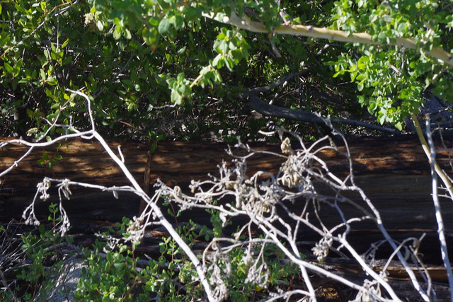
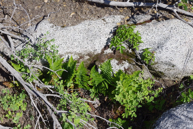
Ferns were also in abundance everywhere in this shaded lower moist region of the stream bed, along with all manner of herbaceous moisture loving plants.
 |
| Photo: Mine |
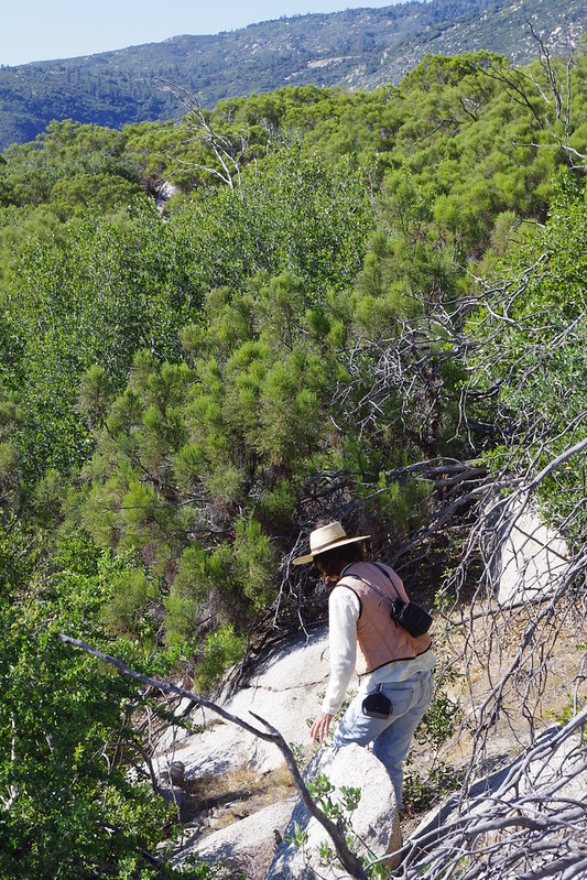
Here is Mary Anne and I making a separation from Patrick who went uphill but we decide it was easier to go back down into an opening in the Creek bed for which we would have missed that giant Holly Leaf Cherry specimen along with it's family. First time ever I had seen such large examples.
 |
| Photo: Mine |
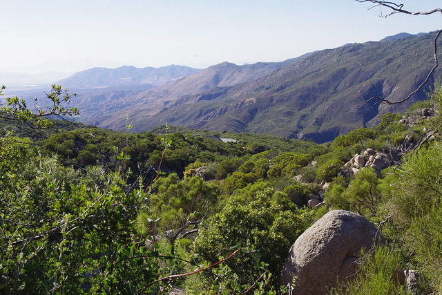
And finally we can see the Hwy 74 rounding the bend in the distance. This last leg was tough and hot. I think I drank three and a half liters of water during this trek before and after. This rich chaparral area was a pleasant and beautiful surprise. I debated about going at times as I wanted to photo so much from my past experiences and exploration. But i just don't have the time. I hope in some way this provides some historical info as well as to how easily humans can destroy, even when they are in positions of official decision making as experts in their respective fields.
Destruction while in positions of official decision-making...yes, indeed, and that is what bums me out the most. Someday, that might not be a battle like it is today. Great survey of drainages. A forester friend lent me a copy of "Oaks of California"...very interesting.
ReplyDeleteThe bunch grass in the unnatural drainage reminds me of Deergrass / M. rigens.
Yeah, that survey was an accident, which originally started out as searching from where the seed source of those trees at the lower drainage came from. The area where the cutoff was made was a bit like a hidden valley of it's own. I can just imagine a huge forest once existing there.
DeleteI'm curious about Oaks. I've got a piece on Engelmann Oak (Quercus engelannii) ready to post. I don't really see that many being used in Landscapes. I'm sure they are being utilized, but I simply don't see them. I planted one in my mum's yard. It was a one gallon and 10 inches high, But it has since exploded in new growth since transplant and inoculation at time of planting. Ever use these Oaks ? In the wild they have the ability to self prune and twist into picturesque shapes and form.