"What we have here is (a) failure tocommunicateEducate ?"
 |
| Credit: Grolsch Filmworks |
~~~~~~~~~~~~~~~~~~~~~~~~~~~~~~~~~~We all remember that line by Strother Martin in the classic 1960s film "Cool Hand Luke", where the penal system was trying by force to get the convicts to comply to their totalitarian Authority. In many instances, this world's various authorities (Political & Business, Science & Religious) do the same thing when it comes to education and communication. It's almost like the old time saying about young ones, "Children should be seen and not heard." Today's authority resents being questioned. Unfortunately the general public is often times so apathetic that such failed leadership gets away with it. Many of the average folks appear to rather like feeling a sense of laziness in letting others do their thinking and research for them. Some people today are like sponges; they soak up whatever they come across. It is all too easy to absorb whatever is around us. As long as their personal comfort isn't disturbed too much, they allow that authority to dictate how the world around them should work and function. This is also true of our conventional understanding and official teaching on how Nature itself operates. The fact that Nature is presently in dire straights everywhere globally should give us pause. So as to not to suffer the consequences of being a mere blind follower, we need to be selective about the information we take into our minds. We need to scrutinize whatever is presented to us, deciding what to accept and what to reject. However, we do not want to be so narrow that we refuse to consider facts that can improve our thinking. How can we find the right balance? By adopting a standard with which to measure the so-called new and enlightened information. On the one hand, we need to have an open mind, that is, receptive to new information. On the other hand, our minds should also see the danger of information that is entirely inconsistent with the reality and the truth of just how the Natural World really works.
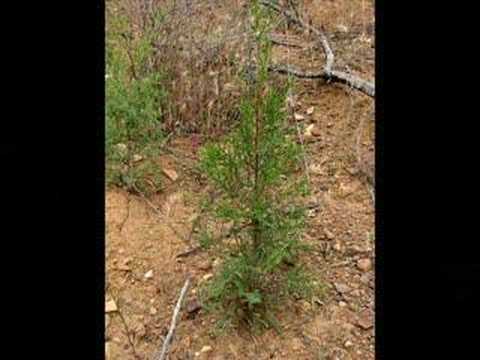 |
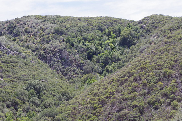
| Credit> Youtube - Craig Chaddock (thumbwave) Tecate Cypress Regeneration |
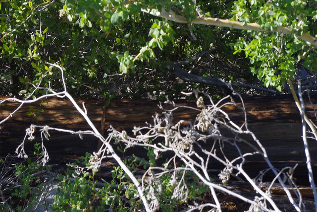
"Heat Frees Seeds, But Flames Decimated Trees"
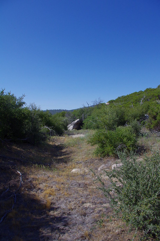
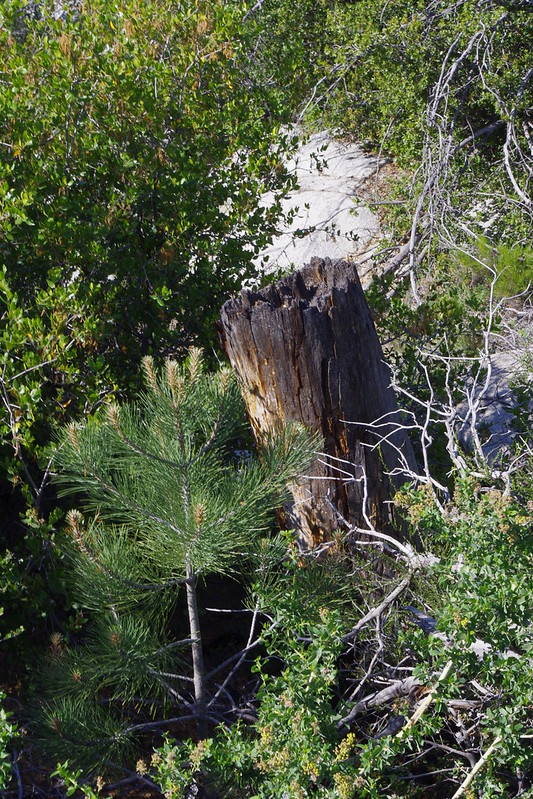
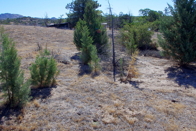
Fire that trees cannot live without ? While there certainly is an excessively large scale propagation strategy these Cypress trees have in the event of a localized environmental destruction and for getting things off to a fast head start, this is NOT the ONLY way in which these trees propagate and move into virgin territories. Still it's those large stand out one liner quotes in headlines that sticks in people's minds. And these are what are used as a propaganda tool for most of these unnecessary Prescribed or Controlled Burns associated with other words or terms like 'Fuel Management' which for the most part are conducted in remote wilderness type locations far far away from any Urban development. I know this from living in the San Jacinto Mountains for over 20+ years. I have over the years discovered many locations of mature Cypress tree forests where actual germination does occur within mature stands of old growth chaparral. One such location is the turnout on Hwy 79 south of Julian California where many many years ago Cuyamaca Cypress trees were planted, I presume as a decorative addition to the area we know as "Inspiration Point Road" which is nothing more than a large loop for viewing the Anza Borrego Desert State Park to the east below. Long before the 2003 Cedar Fire blew through this Hwy 79 Overlook, these trees were actually already spreading around everywhere. Just to the south side of this Turnout Overlook on several hills, there were hundreds of these trees spreading into what can be described as pure dense stands of old growth stunted wind blown Manzanita scrub which had been shaped to the hilltop environment by constant never ending prevailing west winds from off the Pacific Ocean. Yet you won't really find any literature written about this."The Fire that trees can't live without might in this case prove lethal."
One of the best ways to understanding how Nature actually works is quite literally to question and put to the test many of the conventional logic and reasoning being fed to the general public as to land management. It actually takes personal effort of literally dumping the electronic devices, getting off one's back side and getting out into the field regularly. And I mean regularity. It is far better for each individual personally to choose what he will feed his mind with when it comes to references. You've heard it said that we are what we eat, and this can not only apply to food for the body, but also what you feed the mind. No matter what you are reading or watching or listening to when it comes to Scientific Land Management, test to see whether it has propagandistic overtones or is truthful. Clearly in these later days, much of the Fire Ecology does not deal with the reality of how Nature actually operates. Also keep in mind that if you really want to be fair-minded, you also have to be willing to subject our own personal biased opinions and ideas to continual testing as you take in new information. You have to realize that they are, after all, opinions, which no doubt were formulated through the opinion of those with Authority who educated you in the beginning. Even our own ongoing education and understanding's trustworthiness depends on the validity of our own facts, on the quality of our reasoning, and on the standards or values that we choose to apply to them.
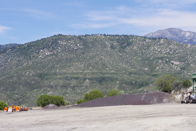
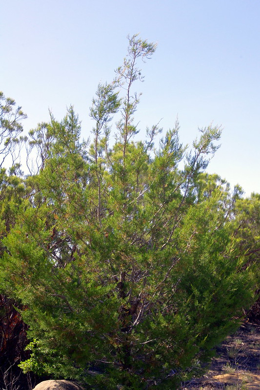
| Credit: GOOGLE |
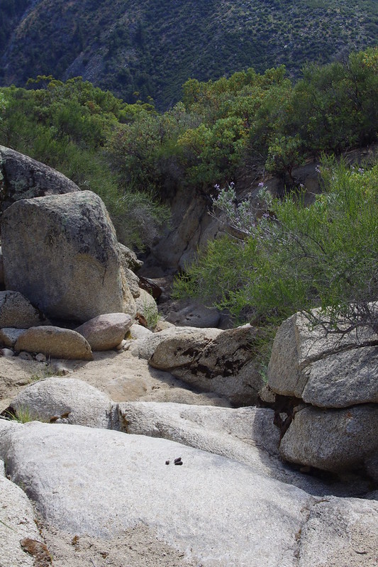
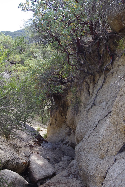
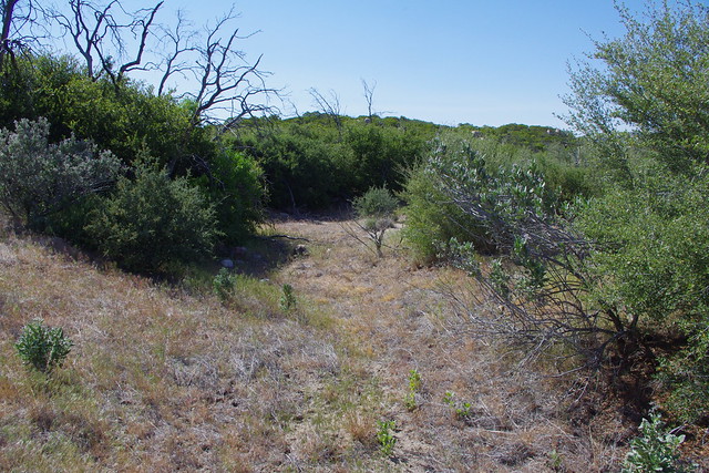
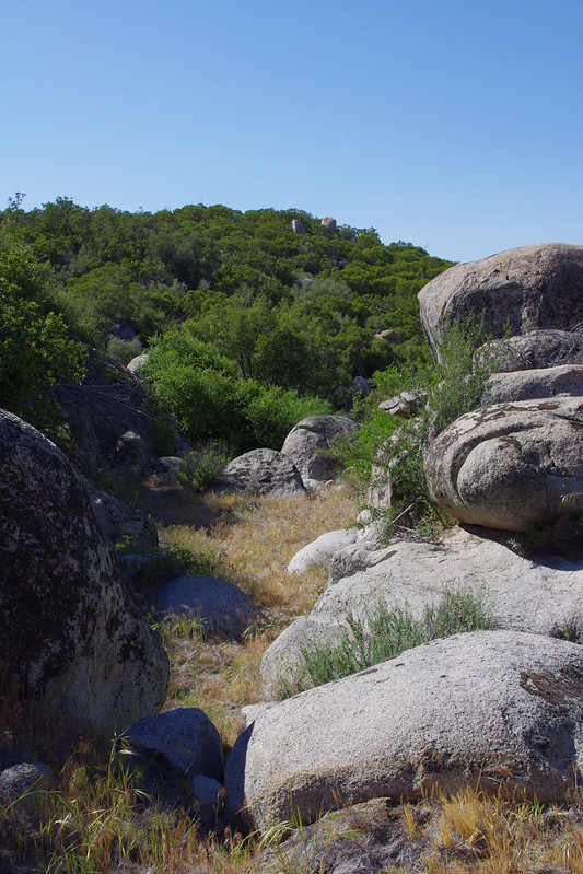
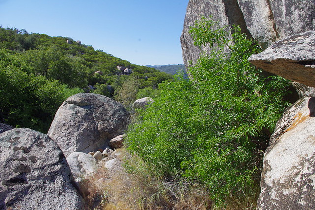
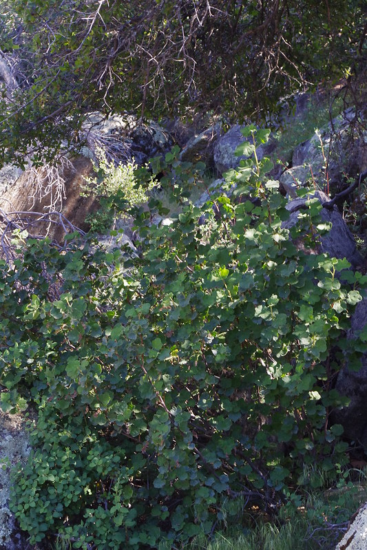
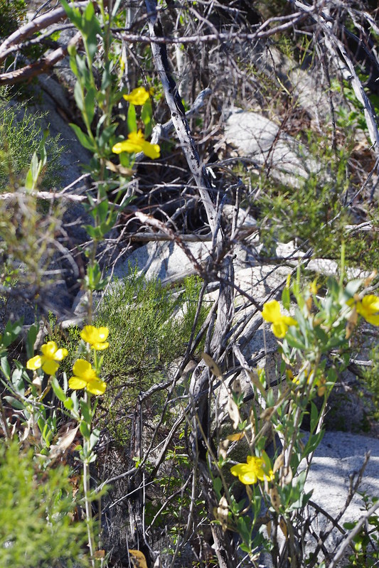
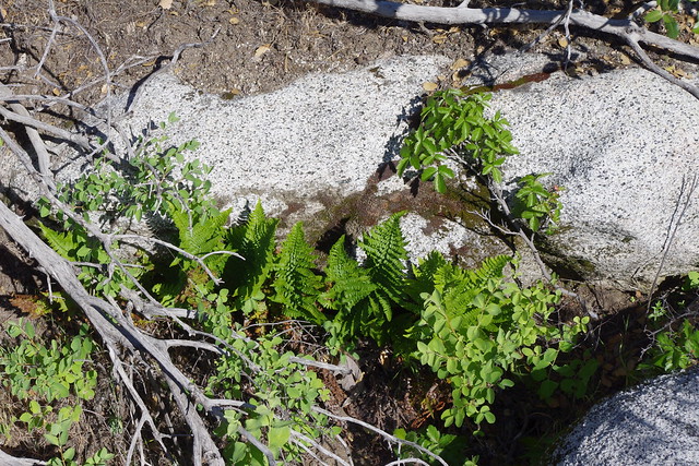
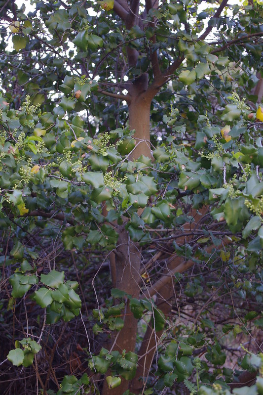
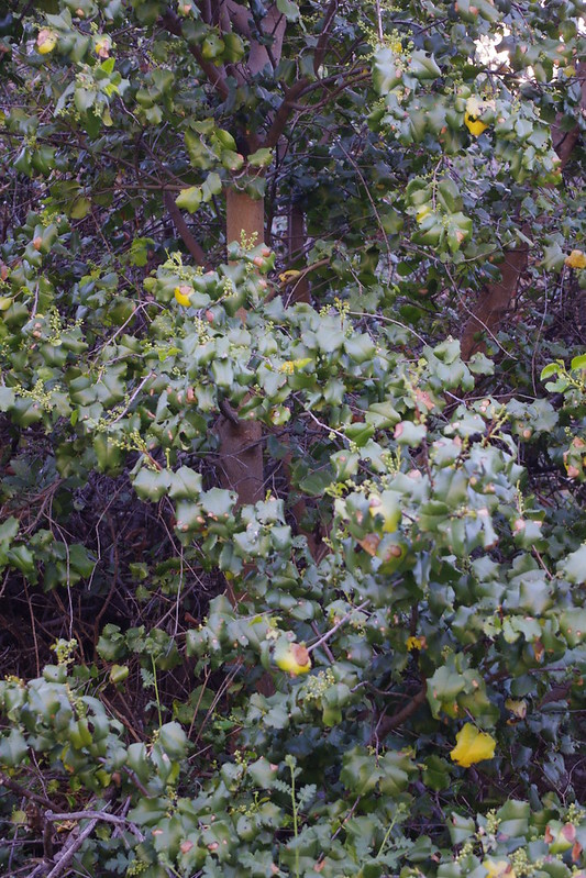
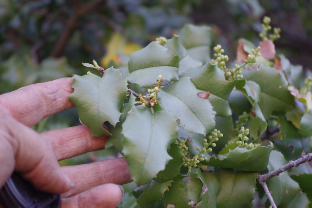
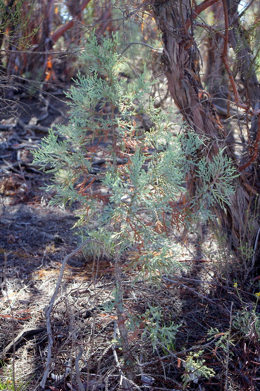
Caution should be in order here as I have no idea as to who now owns this part of Guatay Mountain and in the past I did stumble upon an *cough-cough* Illegal Farm Irrigation pipe if you know what I mean. My main point here is that once up into these trees, you can locate and find many young Tecate Cypress seedlings in among various chaparral plant undergrowth. You will also often find some open cones on the trees themselves. It actually took me a couple of visits in my seed collection before I began noticing there were all these seedlings (which I actually had seen before but gave no thought) and finally I started questioning the reasons for their existence which defied the traditional storytelling I had bought into in my formal education. There among the old growth Cypress and actually much of the old growth Chaparral, I began to discern various age groups among all the Cypresses. Some a foot tall, some five foot tall, some taller. Why ? If it have taken a fire to create these large older Tecate Cypress Forests in the first place, then why were there all these numerous decades younger aged trees ? But a clue was the sound I often heard up here. The sound of a bird pecking on wood. Looking around I discovered these small brown birds pecking on the cones themselves attempting to get at the seeds. I'm no bird expert, but hopefully someone else living there or reading this experience will be alert enough with camera to document this phenomena. Clearly, these birds have a measure of success in penetrating the hard cone, but that doesn't always mean they get every seed. I'm sure some fall out and drop onto the ground or sail into the breeze and land far away from the parent tree. I haven't gone to this place on my present 3012 Spring visit here this time around, but at least you all have a reference point for a personal educational visit.
 |
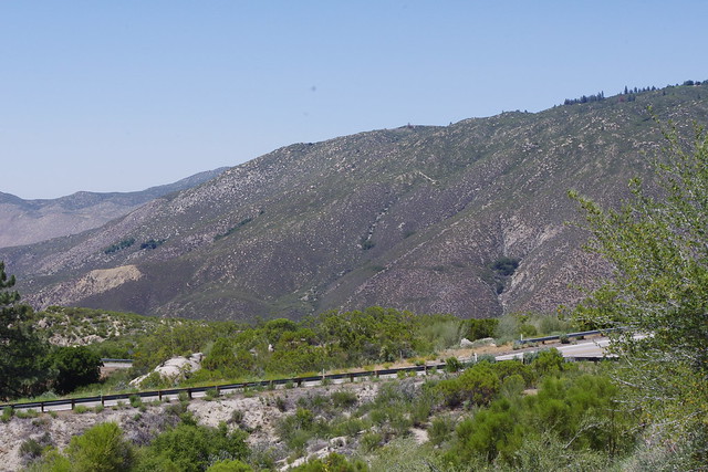
| Credit: SDSU.EDU |
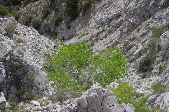
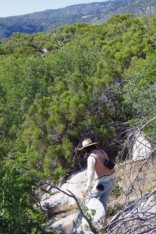
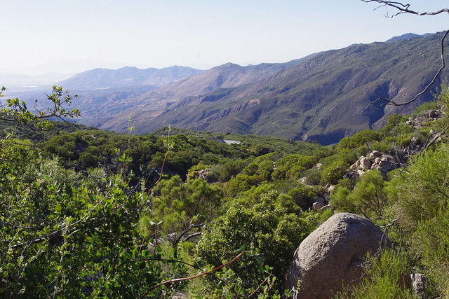
"How did Tecate Cypress Seeds advance themselves and naturalize out in the surround chaparral and adjacent canyons without the 'Dogma of Fire Ecology' being foremost in this process ?"

 |
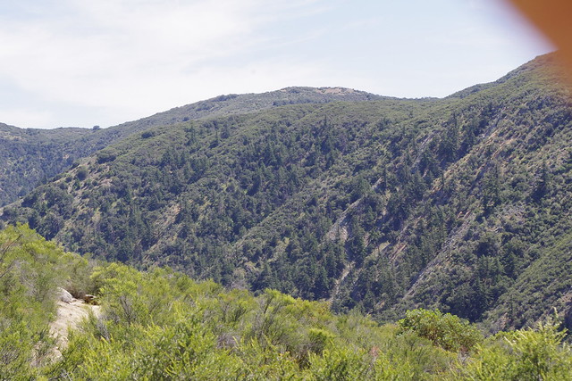
| Photo Mine |
 |
| Photo Mine |
 |
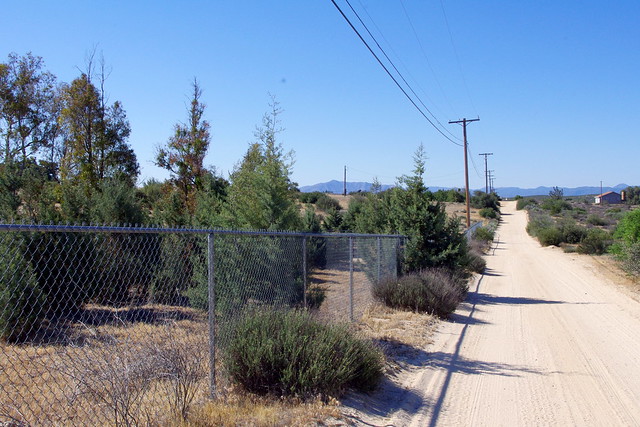
| Photo Mine |
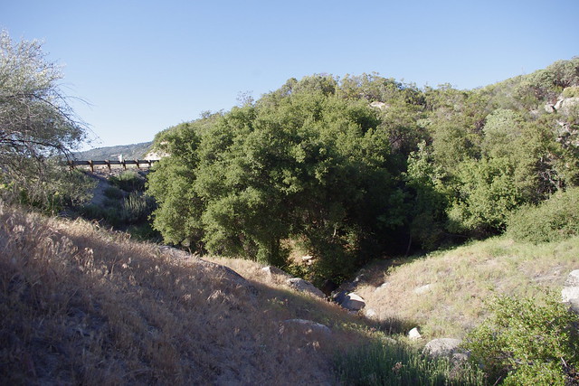
New trees have spread outside of the fence area where the much larger trees are 10 foot away from the fence. I find many fences are great places for many seeds of any kind to germinate. It has a sort of artificial protection and organic build up which creates a mulch and nutrient catchment.
 |
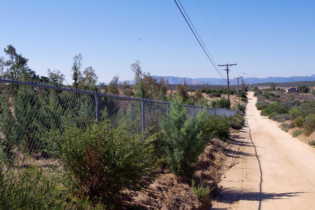
| Photo Mine |
This view is looking over the chain link fencing and revealing several seedlings within the property itself.
 |
| Photo Mine |
This post isn't really a slam against anything forestry, but it is puzzling why such outdated flawed understanding which influences and dictates the need for Prescribed or Controlled Burns are justified to help nature. That just isn't the case. I have worked with many of these officials before and I will tell you that pride of academic accomplishment and credentials means everything to them. Sometimes you have to explain things to them in a way that makes them believe it was their idea in the first place. Or at least subtly send them in the right with the illusion of it being theirs. What ever it takes to get things done. Mostly I post hoping the private land owner, gardener or landscaper gets the point and benefits the most, but not on my word, but getting out there and seeing for themselves. Nothing burns understanding into those brains cells faster than personal observation and experience coupled with practical application back home. I entertain no such hope that government will ever change. People today are told and even encourage to question everything today. I'm not necessarily for that as all I'm seeing now in the Global News Reports are more chaos and disunity. As we have seen, there are many in authority today who would like to delude us with so-called Scientific persuasive arguments about fire ecology. Therefore, when we are presented with these modern day persuasive science arguments, we should ask questions.
For example, examine whether there is any bias. (there almost always is) Next, what is the motive for the message ? (in other words, who's going to profit off the venture) If the message is rife with name-calling and loaded words (Chaparral is boring & mundane or Fuel in need of Management), why is that ? Loaded language aside, what are the merits of the Fire Ecology practices themselves ? Also, if possible, try to check the track record of those so-called experts in authority who are speaking. Are they known for speaking the truth ? And If “authorities” are used in reference, who or what are they ? Why should you regard this person - or organization or publication (Textbooks) - as having expert knowledge or trustworthy information on the subject of fire Ecology or the land management in question ? If you sense some appeal to emotions, ask yourself,
‘When viewed dispassionately, what are the merits of the land management message ?’
 |
| Photo Mine |
Further Interesting Reading:
Orange County Register: "Forest Service helps tecate cypress after fire"
Also check out the link on Tecate Cypress Seed germination which also should illustrate some pertinent points made above:
Seed Germination & Old School Ideology vrs How Nature Actually Works